UN
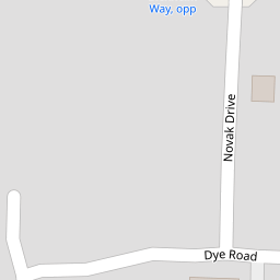
9 Dye Road
£ 227,000
Description
We don't have a Description for this property.
- Bedrooms
- 4
- Bathrooms
- 0

Leaflet © OpenStreetMap contributors
The heatmap indicates the level of crime in the area. The color of the heatmap indicates the crime severity and recency.
Metrics Year-on-Year
- Average area value
- 304,666.00 £Increased by 22.65 %
- Average area rental value
- 814.00 £/moDecreased by 29.03 %
- Est rental Yield
- 3.21 %Decreased by 42.06 %
- Crime Rate
- 44.00 %Unchanged by 0.00 %
from 248,396.00 £
from 1,147.00 £/mo
from 5.54 %
from 44.00 %
Nearby Schools
| Name | Type | Ofsted | Distance |
|---|---|---|---|
| Wayland Academy | Academy Converter | Requires improvement | 1.94 KM |
| Watton Children'S Centre | Children's Centre | 2.23 KM | |
| Watton Westfield Infant And Nursery School | Academy Sponsor Led | Good | 2.36 KM |
| Watton Junior School | Academy Sponsor Led | 2.59 KM | |
| St Peter And St Paul Church Of England Primary Academy & Nursery | Academy Converter | Good | 4.07 KM |
Images
Nearby Streets
| Name | Average Price | Average Sqft | Distance |
|---|---|---|---|
| Burr Close | £ 550,000 | 0 | 0.00 KM |
| Bramble Way | £ 290,000 | 0 | 0.00 KM |
| Crabtree Close | £ 382,500 | 0 | 0.00 KM |
| Saint Mary's Close | £ 0 | 0 | 0.00 KM |
| Horseshoe Close | £ 0 | 0 | 0.00 KM |
Nearby Listings
| Address | Price | Type | Score | Distance |
|---|---|---|---|---|
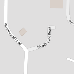
| Bloodhound Road, Watton, IP25 | £ 350,000 | BUY | 7 / 10 | 0.09 KM |
| Bloodhound Road, Watton, Thetford | £ 375,000 | BUY | 8 / 10 | 0.09 KM |
| Dye Road, Watton | £ 325,000 | BUY | 7 / 10 | 0.09 KM |
| Dye Road, Watton | £ 325,000 | BUY | 7 / 10 | 0.10 KM |
| Watton | £ 210,000 | BUY | 6 / 10 | 0.10 KM |
Nearby Properties
| Address | Price | Distance |
|---|---|---|
| 9 Dye Road | £ 227,000 | 0.00 KM |
| 11 Bloodhound Road | £ 276,000 | 0.09 KM |
| 3 Blenheim Way | £ 275,000 | 0.18 KM |
| 9 Blenheim Way | £ 38,000 | 0.18 KM |
| 50 Blenheim Way | £ 103,000 | 0.18 KM |